


Map of Canada PowerPoint & Google Slides Templates


Map of Canada Template Slides
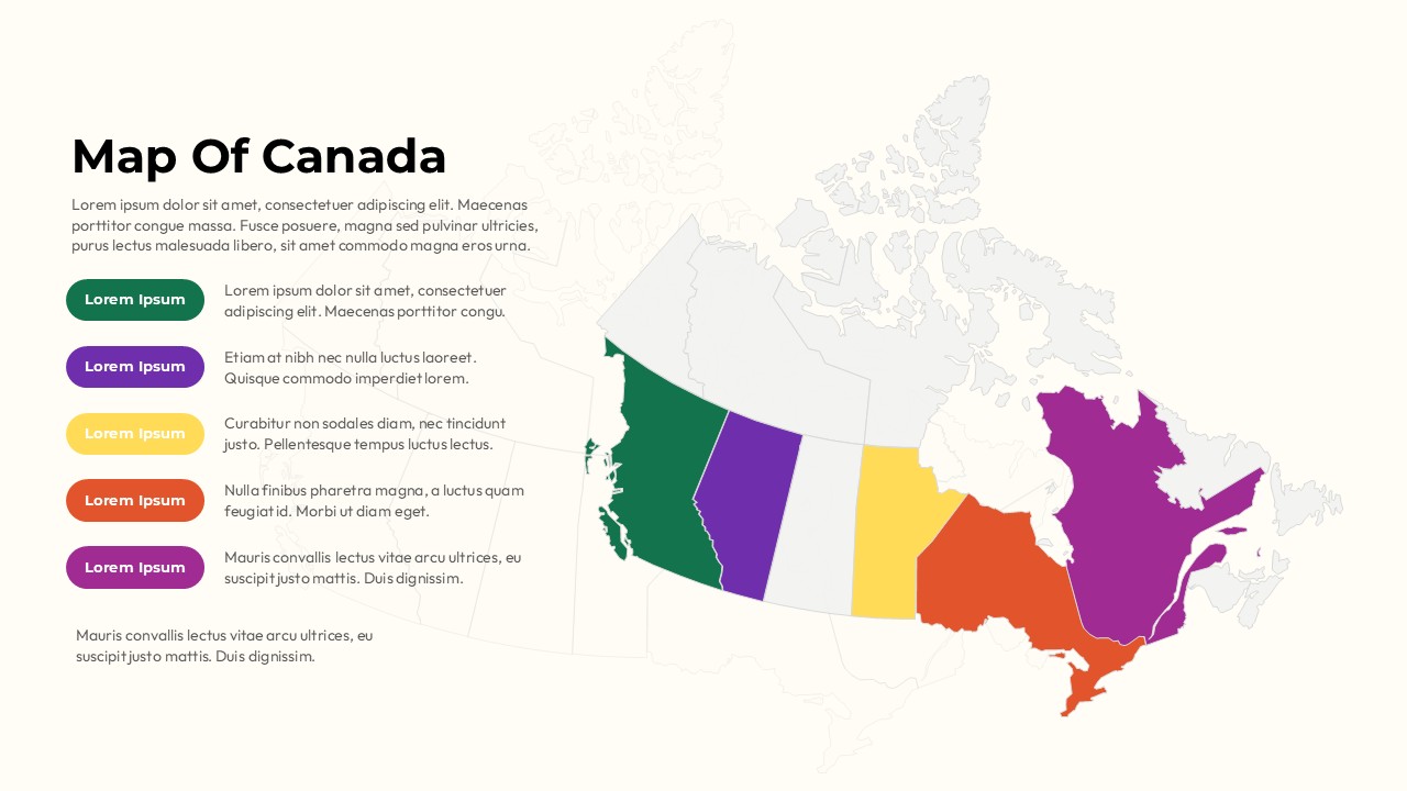
Canada spans 10 provinces and 3 territories across nearly 10 million square kilometers, and trying to explain regional data without a proper visual is where most presentations fall flat. This template gives you a clean, color-coded map of Canada in a two-column layout the map on one side, your data and legend on the other so your audience knows exactly which region you’re talking about without squinting at a spreadsheet. Whether you’re showing sales coverage across provinces, presenting demographic research, planning a market expansion, or teaching Canadian geography, the five-category color legend keeps everything readable and organized. Light and dark themes both included, fully editable in PowerPoint and Google Slides, and every region, label, and color is yours to change.
What You Get
Detailed map of Canada with color-coded provincial and territorial regions
Clean two-column layout map left, legend and content right for easy audience reading
Five-category legend system with distinct colors green, purple, yellow, orange, and magenta
Light theme and dark theme variants included in the same download
Fully editable regions, colors, labels, and text in PowerPoint and Google Slides
Ideal for market analysis, sales territory mapping, demographic studies, and geography education
Flat modern design that works in boardrooms, classrooms, and client-facing presentations
2 slides included download, add your data, and present
Login to download this file


