

Equatorial Guinea Country Map Infographic Slide for PowerPoint & Google Slides


Equatorial Guinea Map Presentation Template
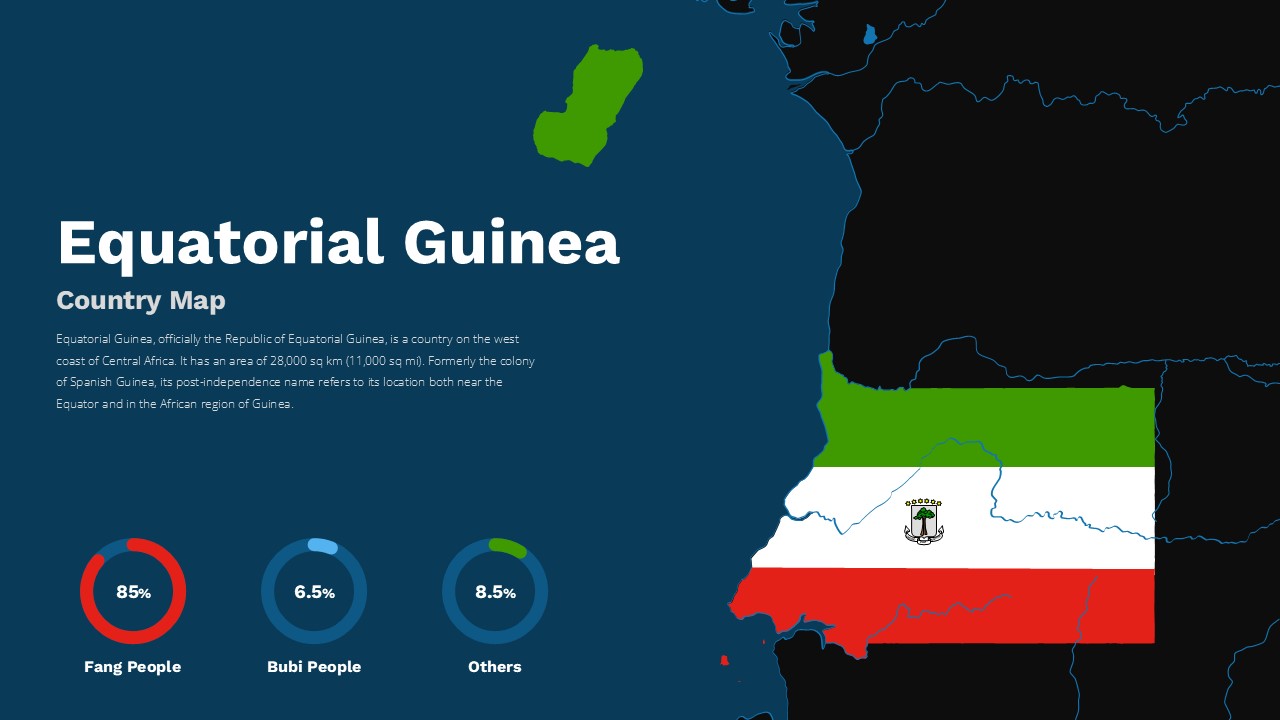
This Equatorial Guinea Country Map Template for PowerPoint & Google Slides provides a comprehensive geographic presentation with detailed demographic visualization. Features a clean, professional layout with the country map prominently displayed alongside statistical data using circular infographic elements. The design incorporates Equatorial Guinea’s national colors (green, white, and red) with modern cartographic styling. Includes demographic breakdowns showing ethnic group distributions with clear percentage indicators for the Fang People (85%), Bubi People (6.5%), and Others (8.5%).
This Equatorial Guinea Country Map Template for PowerPoint & Google Slides is ideal for educational presentations, geographic studies, business briefings, and country profile reports. Perfect for educators teaching about Central African geography, researchers presenting demographic data, business professionals analyzing regional markets, and students creating academic presentations. The template supports various presentation scenarios including cultural studies, economic analysis, tourism promotion, and international business development meetings requiring detailed country-specific information.
The template offers full editability with customizable text placeholders, adjustable color schemes, and modifiable infographic elements. Both light and dark theme variants provide flexibility for different presentation environments and audience preferences. Enhances professional presentations with accurate geographic data and visually appealing demographic statistics, enabling presenters to deliver impactful, data-driven content effectively.
Features of this Equatorial Guinea country map template
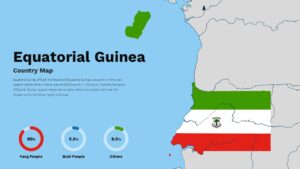
• Two slide variations with light and dark theme options
• Detailed country map with neighboring regions highlighted
• Circular demographic infographics with percentage breakdowns
• National color scheme integration for authentic branding
• Professional cartographic design with clean typography
Why use this Equatorial Guinea country map template
• Saves time with pre-designed geographic and demographic layouts
• Provides accurate visual representation of Equatorial Guinea
• Offers flexible customization for various presentation needs
• Enhances credibility with professional cartographic styling
Who is it for
This template is designed for educators teaching geography or African studies, business professionals analyzing Central African markets, researchers presenting demographic data, students creating country profile presentations, tourism industry professionals, international development organizations, and anyone requiring detailed geographic and statistical information about Equatorial Guinea for academic, business, or educational purposes.
Login to download this file


